Nebraska Pictures, Images and Stock Photos
Browse 13,800+ nebraska stock photos and images available, or search for nebraska map or nebraska landscape to find more great stock photos and pictures.
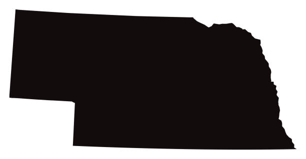
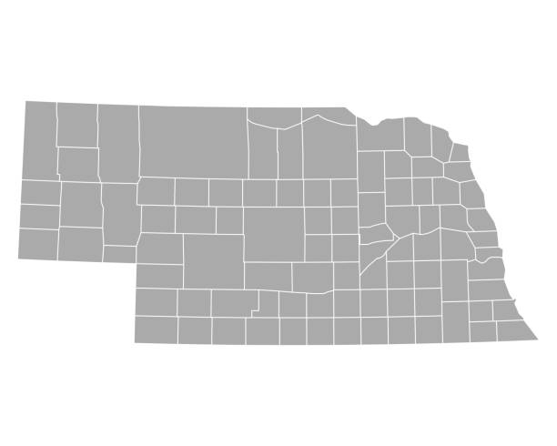
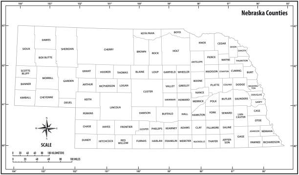
nebraska map
nebraska landscape
omaha nebraska
nevada
lincoln nebraska
nebraska farm
nebraska flag
nebraska capitol
nebraska football
nebraska city
kearney nebraska
valentine nebraska
nebraska winter
rural nebraska
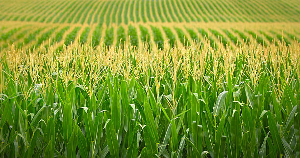
nebraska cornfield
nebraska road
nebraska sandhills
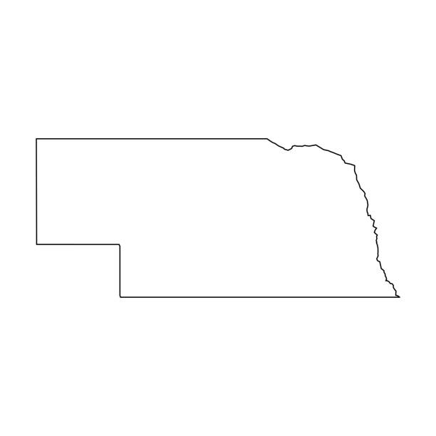
nebraska outline
nebraska skyline
nebraska highway
nebraska spring
nebraska flooding
nebraska house
nebraska vector
nebraska sunset
nebraska field
nebraska people
nebraska sunrise
nebraska state
nebraska home
Most popular
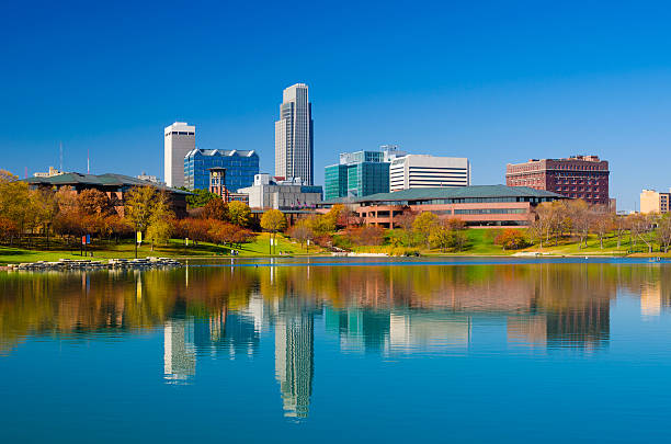
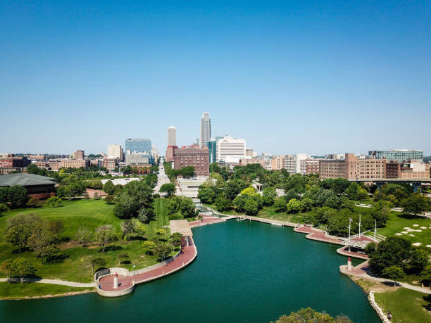
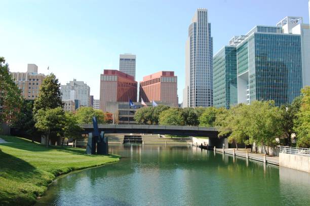
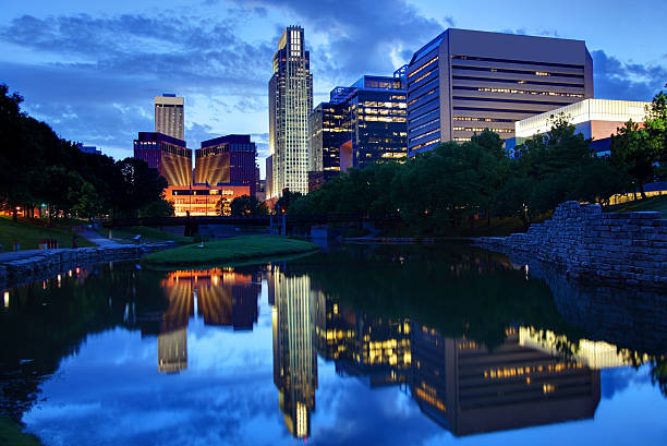
Omaha downtown skyline during Autumn, with a lake at the Heartland of America Park in the foreground

Vector Illustration of the Silver Map of USA State of Nebraska
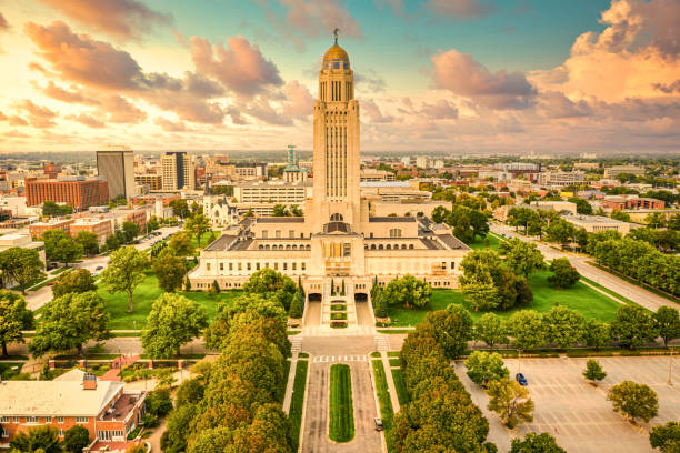
Lincoln skyline and Nebraska State Capitol. The Nebraska State Capitol is the seat of government for the U.S. state of Nebraska and is located in downtown Lincoln.
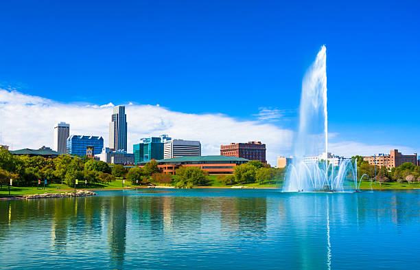
Downtown Omaha skyline with a Lake and a large ornate fountain in the Heartland of America Park.
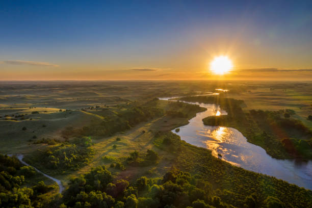
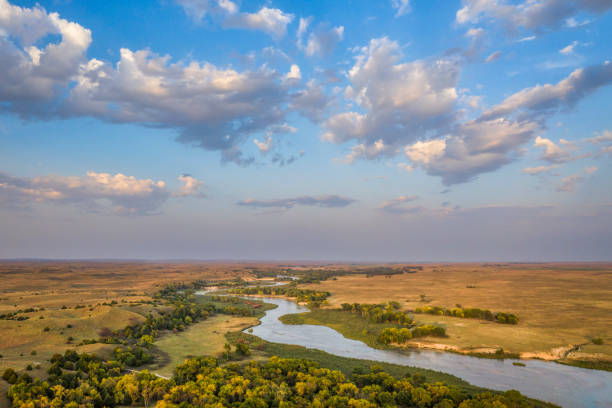
sunrise over Dismal River meandering through Nebraska Sandhills at Nebraska National Forest, aerial view of summer scenery
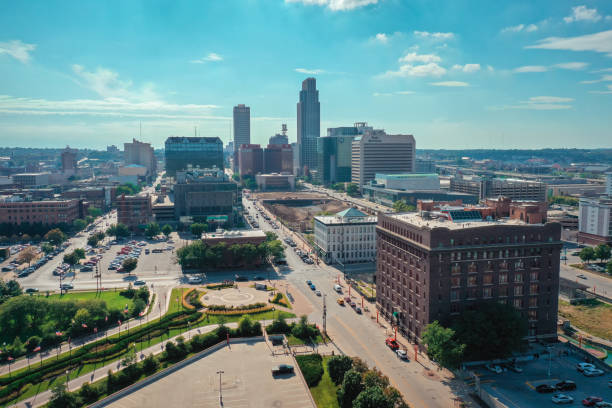
Aerial Drone Photography Downtown Omaha Nebraska
Vector of Highly Detailed Map of Nebraska State of the United States of America - The url of the reference file is : https://www.cia.gov/library/publications/the-world-factbook/graphics/ref_maps/pdf/united_states.pdf
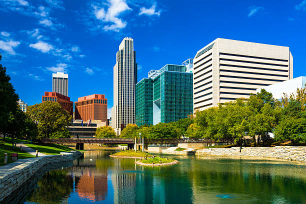
Downtown Omaha skyline with the Gene Leahy Mall in the foreground (including a reflective waterway / lagoon.)

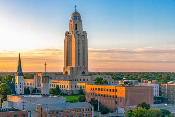
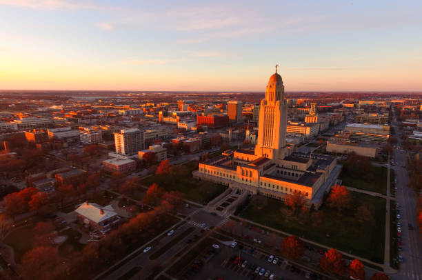
Nebraska State Capitol landscape at sunrise
Nebraska, state of USA - solid black outline map of country area. Simple flat vector illustration.
Cornfield with multiple rows of corn. Green and yellow
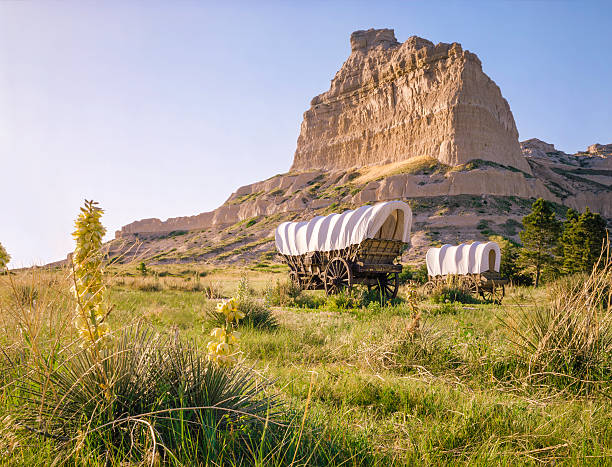
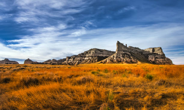
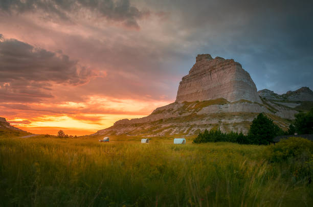
Covered wagons in front of rocky bluff at Scotts Bluff National Monument in Nebraska. This prominent bluff was an important landmark for those traveling on the Oregon Trail.
Sunset in Omaha Nebraska
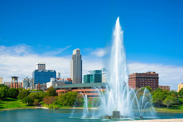
Downtown Omaha skyline in the background with a huge and elaborate fountain and a lake in the foreground (part of the Heartland of America park.)
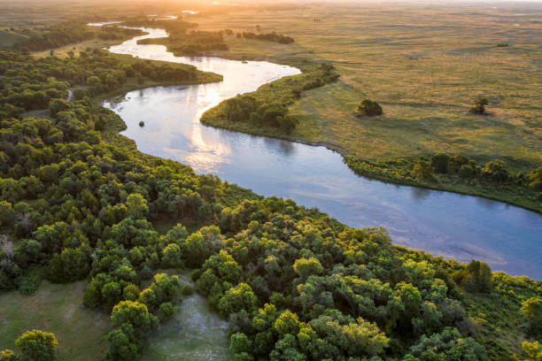
sunrise over Dismal River meandering through Nebraska Sandhills at Nebraska National Forest, aerial view of summer scenery
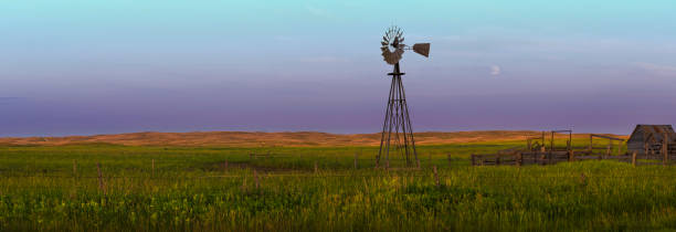
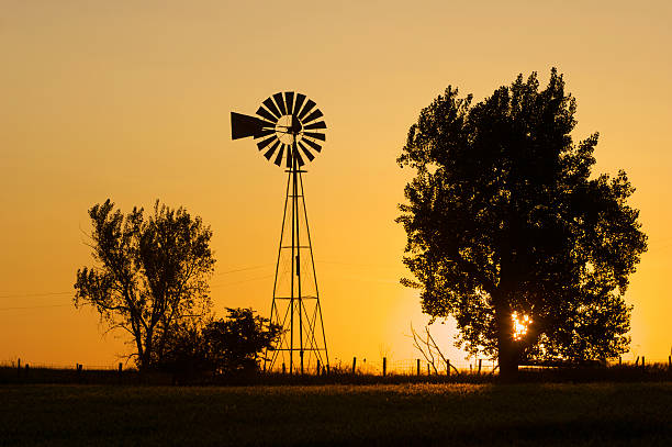
Single windmill located in the Sand Hills of Western Nebraska.

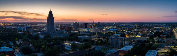
Aerial panorama of Lincoln, Nebraska under a dramatic sunset. Lincoln is the capital city of the U.S. state of Nebraska and the county seat of Lancaster County
hazy sunrise over Nebraska Sandhills with a dirt sandy road at Nebraska National Forest, fall scenery affected by wildfire smoke from Colorado and Wyoming
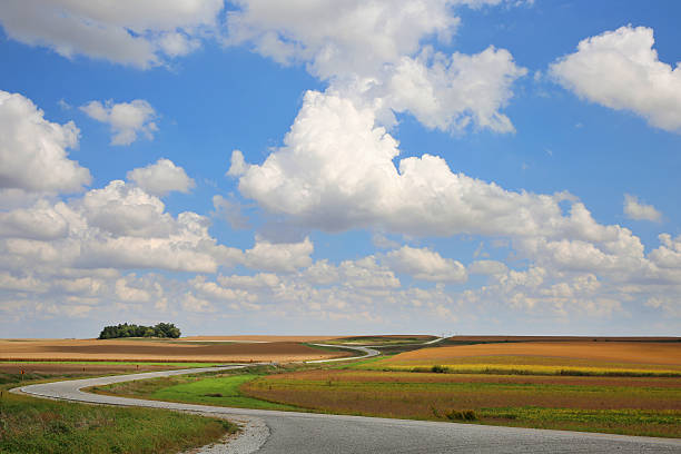
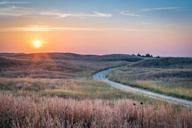
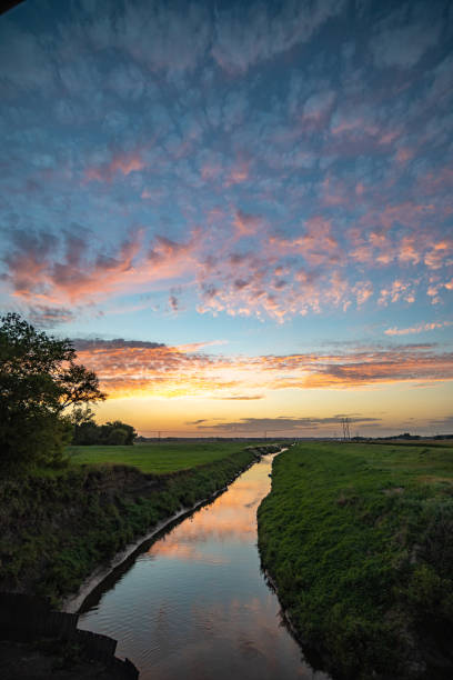
Prairie landscape with beautiful cumulus clouds and blue sky with cloud shadows and long, winding road. Nebraska, September.
Omaha is the largest city in the state of Nebraska
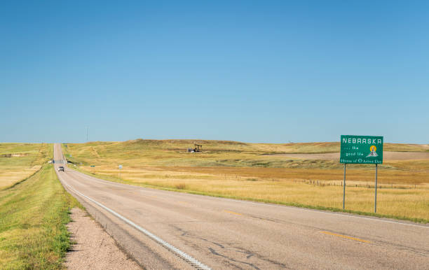
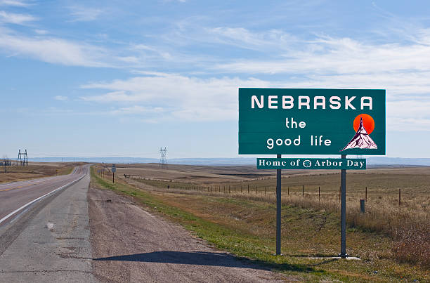
Nebraska , the good life, home of Arbor Day - roadside welcome sign at state border with Colorado, late summer scenery
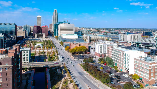
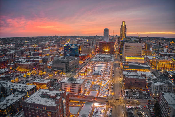
Omaha Drone Downtown

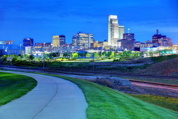
Sunrise/Sunset landscape from Omaha, Nebraska and Council Bluffs, Iowa.
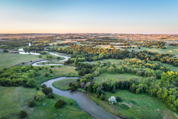
aerial view of Dismal River in Nebraska Sand Hills near Thedford, spring scenery lit by sunrise light

Downtown Omaha skyline with a beautifully lit fountain at night.
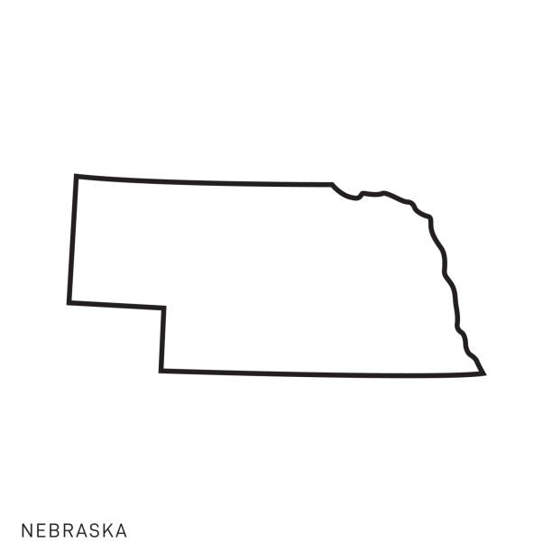
Nebraska - States of USA Outline Map Vector Template Illustration Design. Editable Stroke. Vector EPS 10.

A detailed map of Nebraska state with cities, roads, major rivers, national forests, monuments, and major lakes. Includes neighboring states and surrounding water.
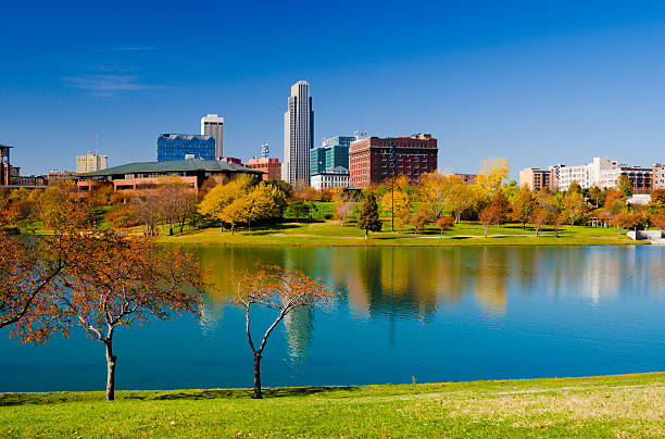
Downtown Omaha skyline with the Heartland of America Park (with a lake and fall colored trees) in the foreground.
Fall Color Orange Tree Leaves Nebraska State Capital Lincoln
Omaha is the largest city in the state of Nebraska and the county seat of Douglas County
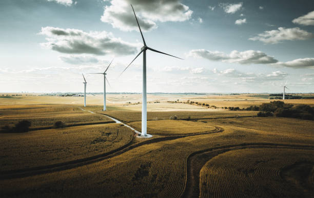
Wind turbine in Nebraska
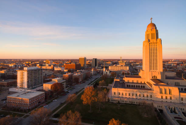
The sun sets over the State Capital Building in Lincoln Nebraska
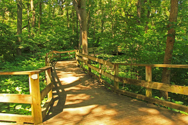
Peaceful boardwalk trail through lush trees in the Fontenelle Forest Nature Center in Bellevue, Nebraska near Omaha.
shallow and wide Dismal River flowing through Nebraska Sandhills at Nebraska National Forest, aerial view of afternoon scenery in early fall
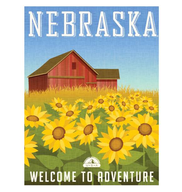
Nebraska travel poster or sticker. Vector illustration of sunflowers in front of old red barn.
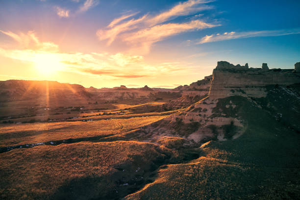
Beautiful sunset clouds over Scotts Bluff National Monument
Sunrise/Sunset landscape from Omaha, Nebraska and Council Bluffs, Iowa.
Nebraska map shape, united states of america. Flat concept icon symbol vector illustration .
The start of a day on the Nebraska prairie. Notice the bird on the fence!
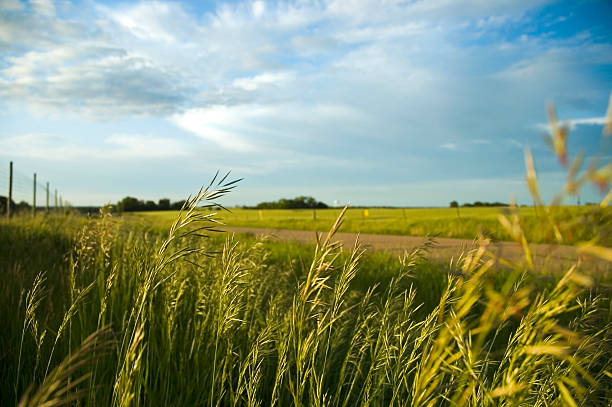
Country road under a stormy sky, brome grass in the ditch, fences; Nebraska
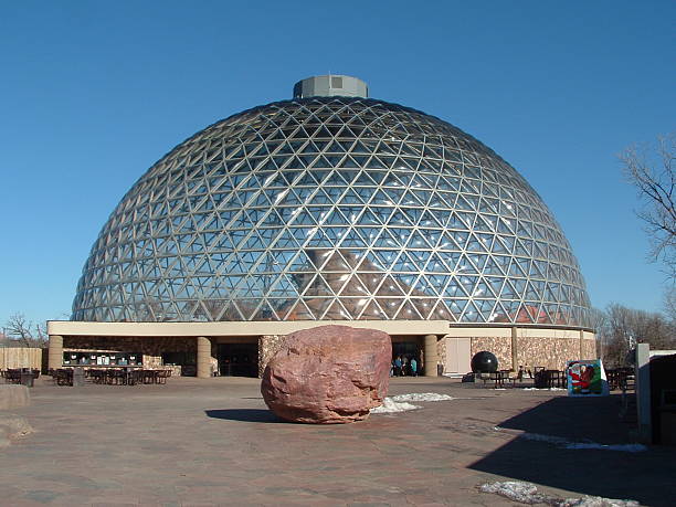
Outside a desert dome at Omaha Henry Doorly Zoo
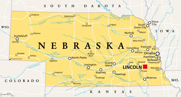
Nebraska, NE, political map with the capital Lincoln and the largest city Omaha. Triply landlocked State in the Midwestern subregion of the United States of America, nicknamed Cornhusker State. Vector
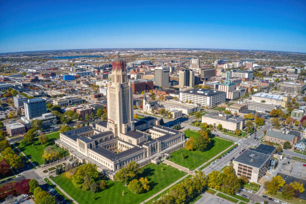
Stitched panoramic shot of the Nebraska State Capitol and Downtown Lincoln from the air.
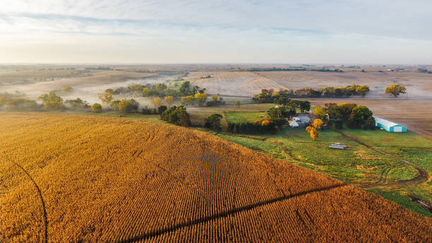
Farm with corn field at sunrise.
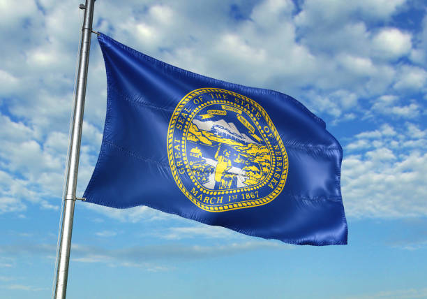
Nebraska state of United States flag on flagpole waving cloudy sky background realistic 3d illustration
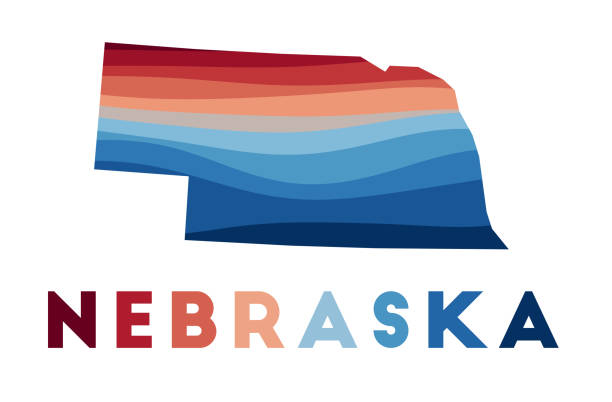
Nebraska map. Map of the us state with beautiful geometric waves in red blue colors. Vivid Nebraska shape. Vector illustration.

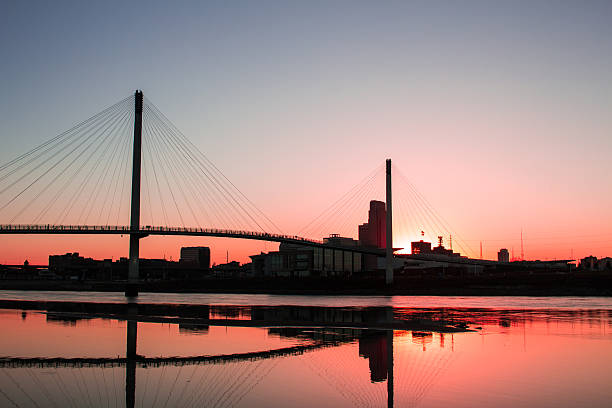
"Omaha, Nebraska on the map."


Traditional farmstead in the midwestern USA along a rural road with soybean fields