Pennsylvania Pictures, Images and Stock Photos
Browse 93,600+ pennsylvania stock photos and images available, or search for pennsylvania map or philadelphia to find more great stock photos and pictures.
pennsylvania map
philadelphia
pennsylvania flag
pennsylvania landscape
pennsylvania skyline
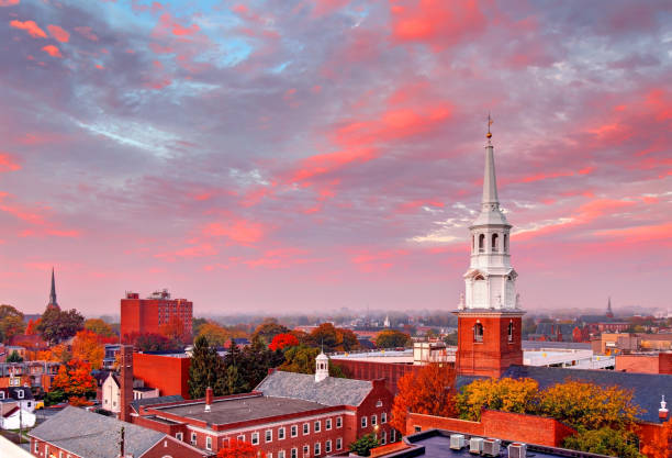
lancaster pennsylvania
allentown pennsylvania
erie pennsylvania
scranton pennsylvania
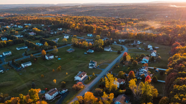
rural pennsylvania
york pennsylvania
pennsylvania state
hershey pennsylvania
western pennsylvania
poconos pennsylvania
pennsylvania turnpike
pennsylvania capitol
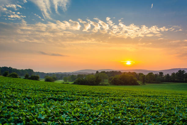
pennsylvania farm
pennsylvania winter
pennsylvania house
pittsburgh pennsylvania
pennsylvania forest
pennsylvania nature
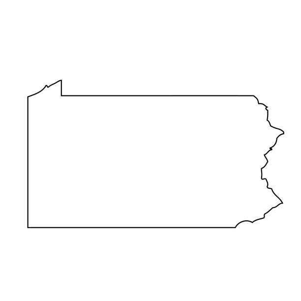
pennsylvania outline
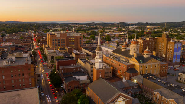
reading pennsylvania
bethlehem pennsylvania
pennsylvania election
johnstown pennsylvania
pennsylvania voting
pennsylvania keystone
Most popular
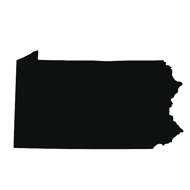
map of the U.S. state of Pennsylvania
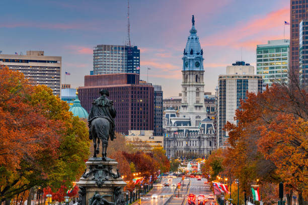
Philadelphia, Pennsylvania, USA in autumn overlooking Benjamin Franklin Parkway.
Philadelphia’s skyline in autumn
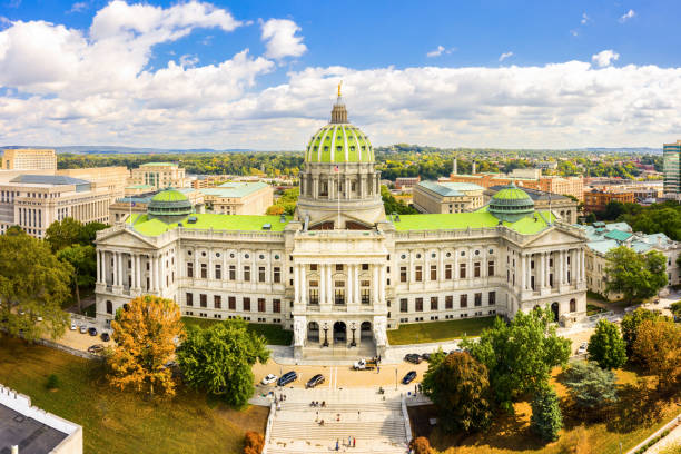
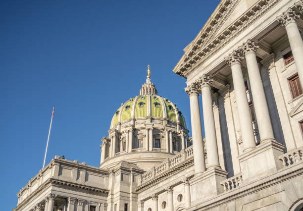
Drone view of the Pennsylvania State Capitol, in Harrisburg. The Pennsylvania State Capitol is the seat of government for the U.S. state of Pennsylvania
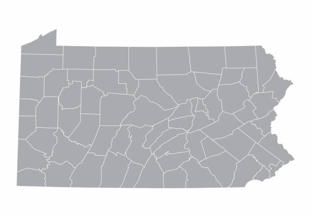
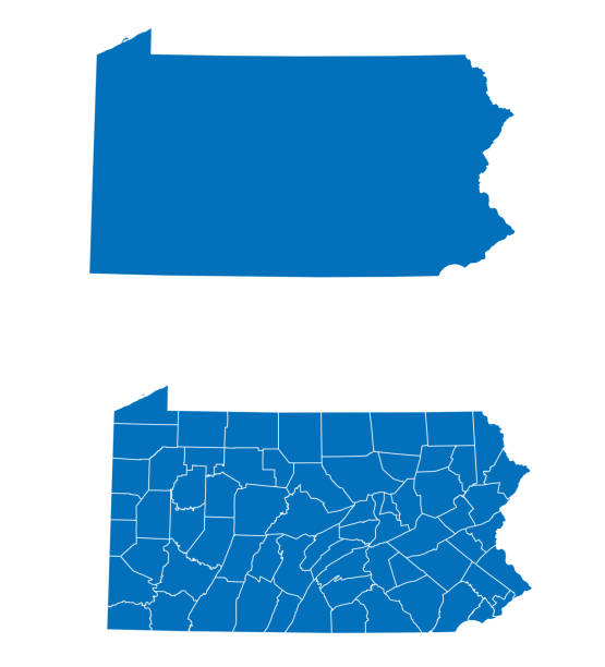
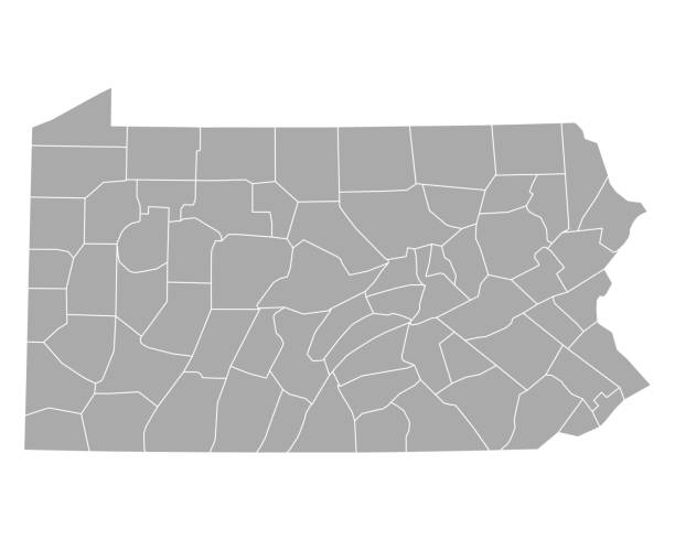
A gray Map of Pennsylvania and its counties
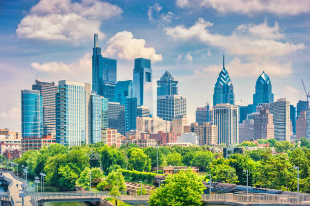
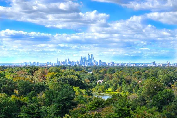
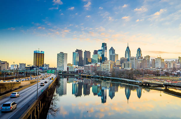
Skyline of downtown Philadelphia Pennsylvania USA on a sunny summer day.
Vector. Map of US state
Lancaster is a city located in South Central Pennsylvania which serves as the seat of Pennsylvania's Lancaster County and one of the oldest inland towns in the United States
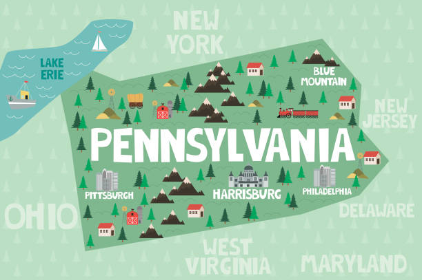
Illustrated map of the state of Pennsylvania in United States with cities and landmarks. Editable vector illustration
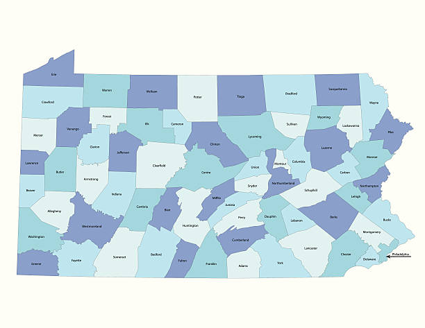
Detailed state-county map of Pennsylvania.
Urban Skyline, City, Bridge - Built Structure, Cityscape, Dusk
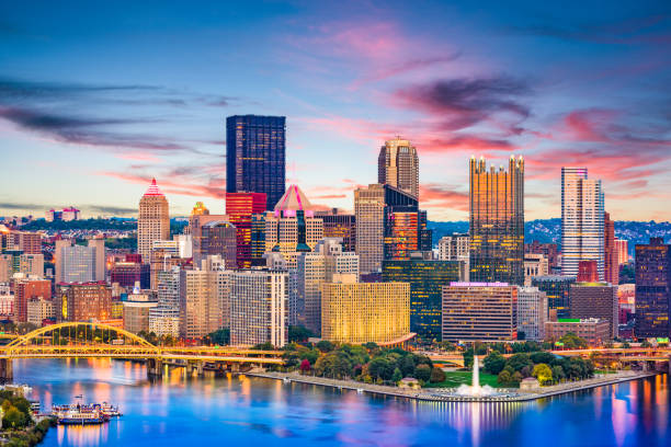
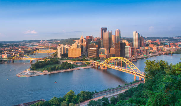
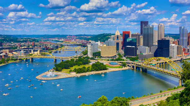
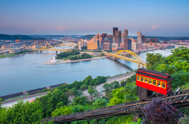
Pittsburgh, Pennsylvania, USA downtown city skyline on the rivers at dusk.
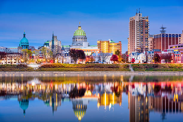
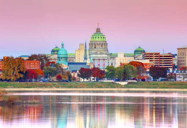
Harrisburg, Pennsylvania, USA skyline on the Susquehanna River.
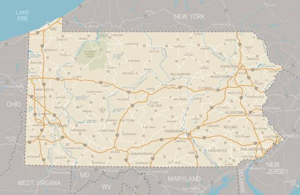
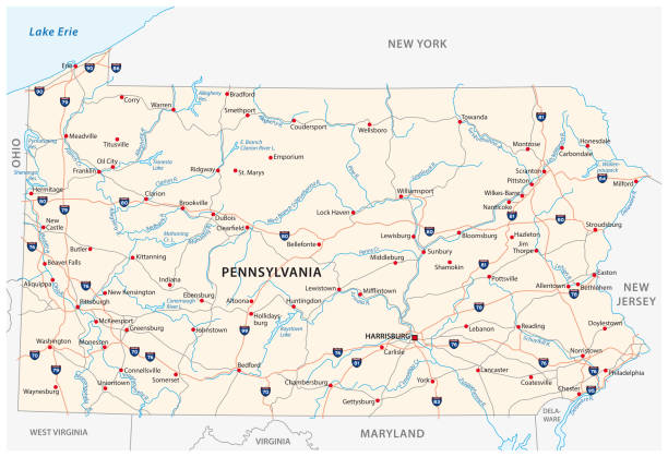
A detailed map of Pennsylvania state with cities, roads, major rivers, and lakes. Includes neighboring states and surrounding water.
pennsylvania road vector map

Aerial panorama of Allentown, Pennsylvania skyline on late sunny afternoon. Allentown is Pennsylvania's third most populous city.
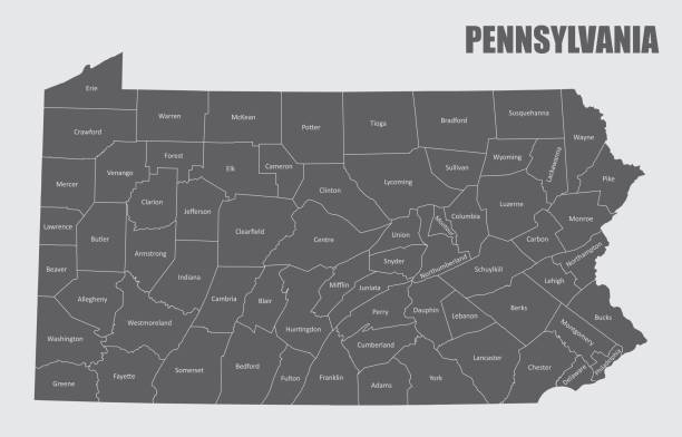
Map of the state of Pennsylvania and its counties
Sunset in the Appalachian Mountains over the small American town Jackson Township, Stroudsburg, Pennsylvania, Poconos region.

vector illustration of Pennsylvania map

Colorful summer sunset from Little Roundtop in Gettysburg, Pennsylvania
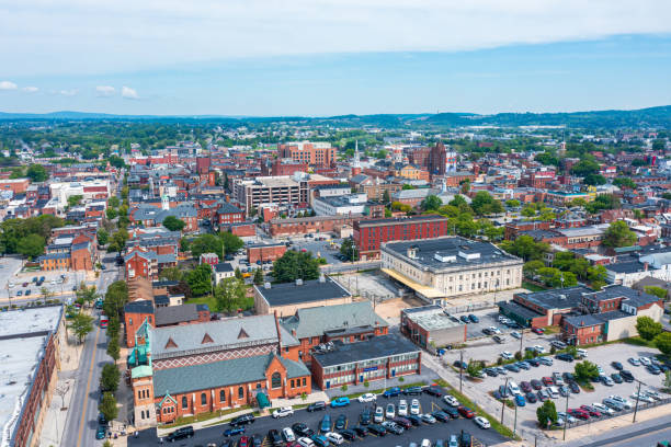
Traffic is backed up at the stop lights on main streets in York PA USA
Pennsylvania State Capitol building in Harrisburg

Lancaster Pennsylvania is a city located in South Central Pennsylvania which serves as the seat of Pennsylvania's Lancaster County
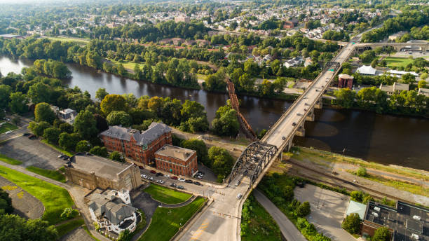
The panoramic aerial view of Bethlehem - the city in Appalachian mountains on the Lehigh River, Pennsylvania, USA
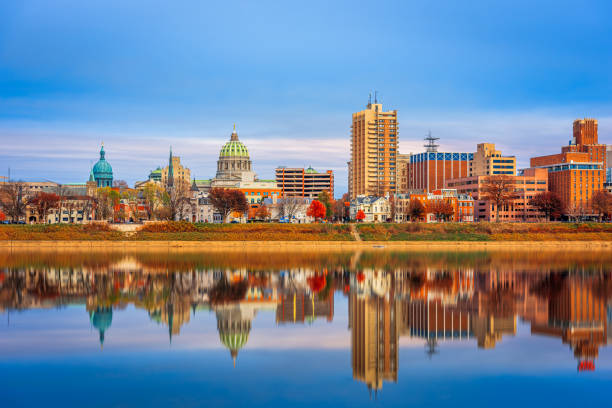
Harrisburg, Pennsylvania, USA skyline on the Susquehanna River at dusk.

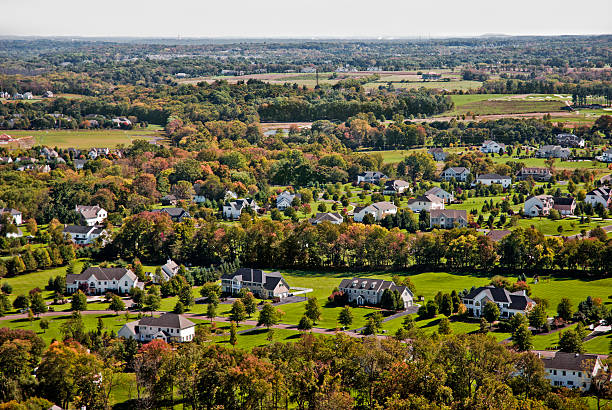
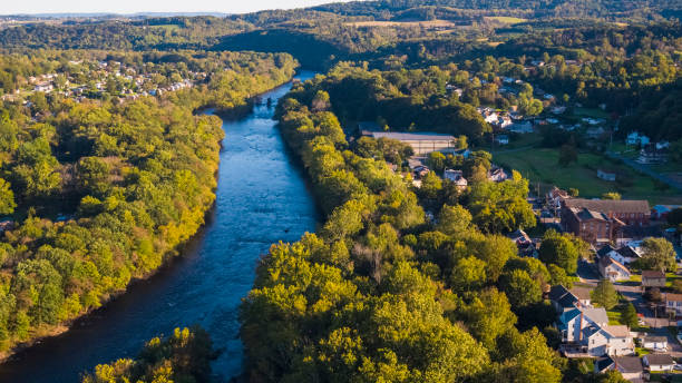
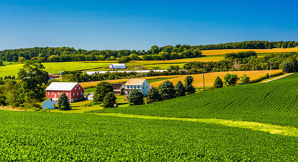
River runs through a farmland valley as the leaves change

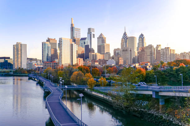
Downtown Skyline of Philadelphia, Pennsylvania at twilight
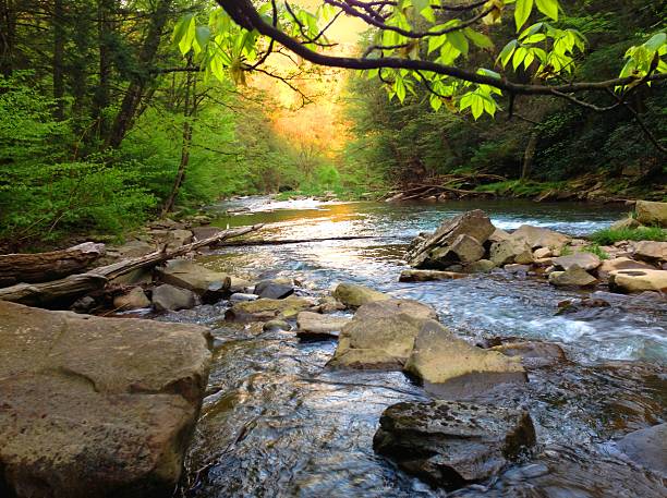
Brush Creek stream in Somerset County Pennsylvania.
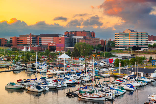
Erie, Pennsylvania, USA downtown on the bayfront at dusk.
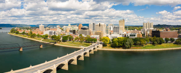
Harrisburg, Pennsylvania aerial skyline panorama on a sunny day. Harrisburg is the capital of state and houses the government for the U.S. state of Pennsylvania
Home sweet home in Washington Crossing, Pennsylvania
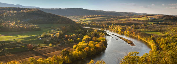
River runs through a farmland valley in Pennsyvania USA
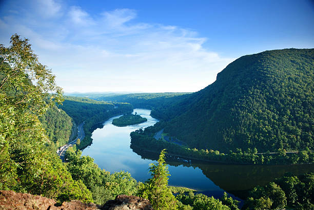
Mountain peak view with blue sky, river and trees from Delaware Water Gap, Pennsylvania.
Aerial scenic view of the small American town Slatington lying along with the Lehigh River and historical Lehigh Chanel used for coal transportation, Lehigh Valley, Pennsylvania, USA, on a sunny evening in the early autumn.
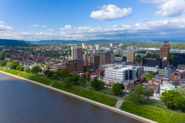
Harrisburg is the capitol of Pennsylvania.
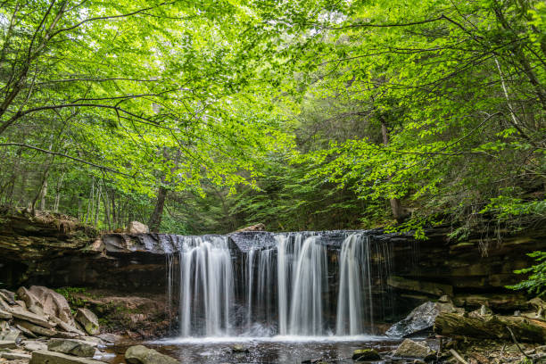
A canopy of green shades the summer waters of Kitchen Creek at Oneida Falls in Ricketts Glen State Park of Pennsylvania.
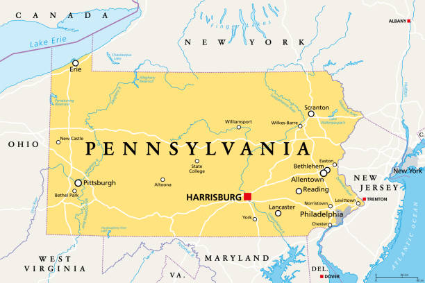
Pennsylvania, PA, political map. Officially the Commonwealth of Pennsylvania. State in the northeastern United States of America. Capital Harrisburg. Keystone State. Quaker State. Illustration. Vector
vector of Pennsylvania map
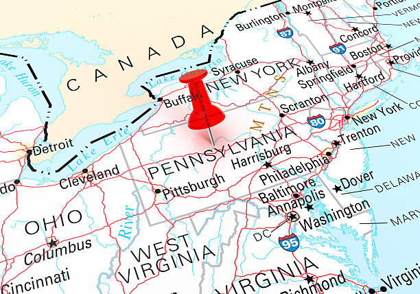
Red Thumbtack Over Pennsylvania State USA Map. 3D rendering
Bridge - Built Structure, City, Cityscape, Famous Place, Monongahela River
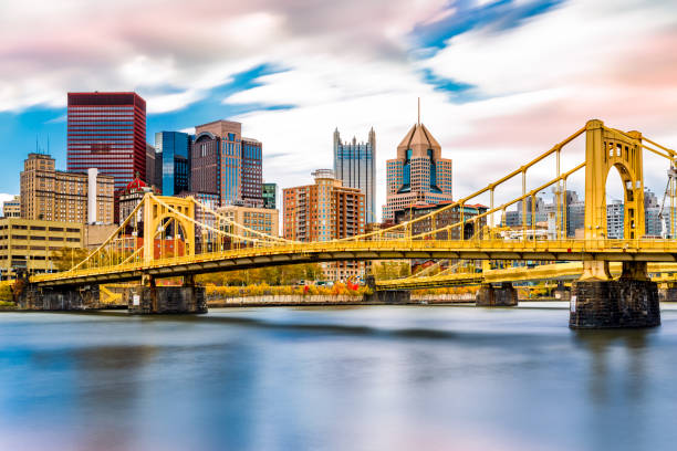
Rachel Carson Bridge (aka Ninth Street Bridge) spans Allegheny river in Pittsburgh, Pennsylvania
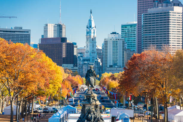
Philadelphia, Pennsylvania, USA in autumn overlooking Benjamin Franklin Parkway.
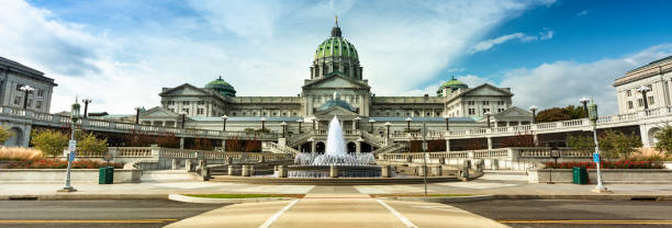
Building exterior and fountain of the Pennsylvania State Capitol building in downtown Harrisburg USA
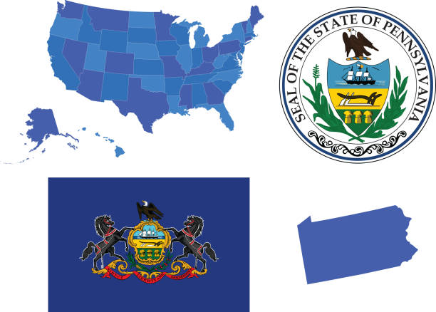
Vector illustration of Pennsylvania state, contains:
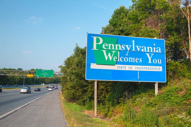
Pennsylvania Welcomes You road sign at the state border
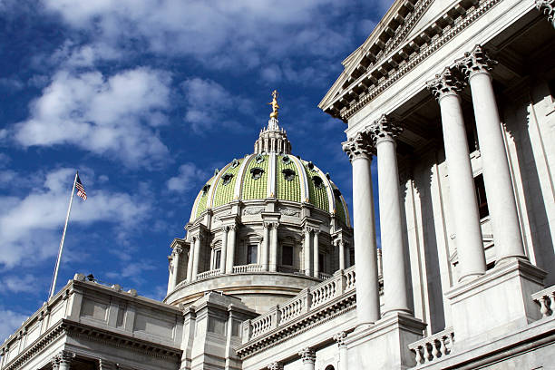
Pennsylvania Capitol Building in Harrisburg with blue sky background

Aerial view of Delaware Water Gap on a sunny autumn day. The Delaware Water Gap is a water gap on the border of the U.S. states of New Jersey and Pennsylvania
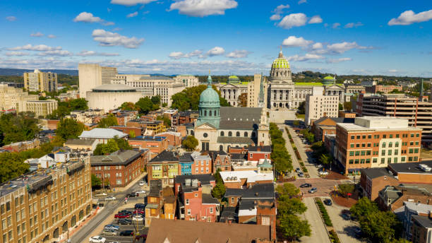
Early Morning light hits the buildings and downtown city center area in Pennsylvania state capital at Harrisburg
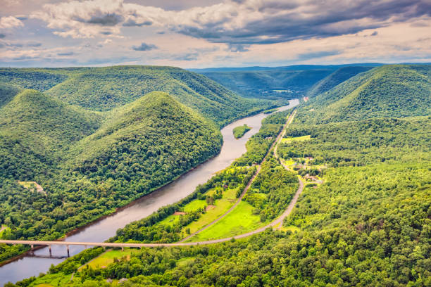
West Branch Susquehanna River valley, as seen from Hyner View State Park, Pennsylvania, USA.
The Pennsylvania State Capitol is the seat of government for the U.S. state of Pennsylvania located in downtown Harrisburg
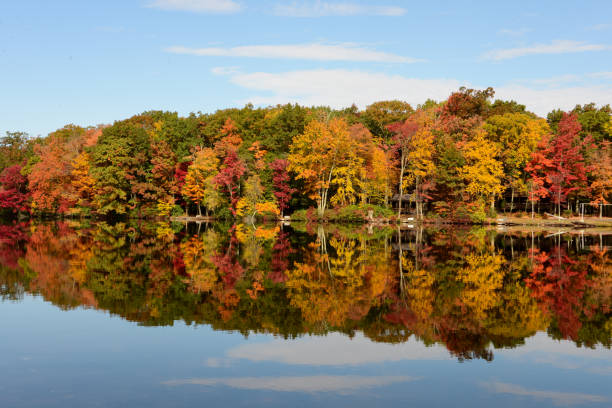
Trees with multi-colored autumn leaves reflected in a lake in the Pocono Mountains of Pennsylvania.
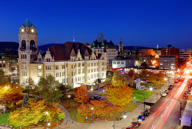
Lackawanna County Courthouse is a historic courthouse building located in Scranton. Scranton is the sixth-largest city in the Commonwealth of Pennsylvania. It is the county seat of Lackawanna County in Northeastern Pennsylvania