
Territorial Pictures, Images and Stock Photos
Browse 94,500+ territorial stock photos and images available, or search for territorial police to find more great stock photos and pictures.
Most popular

Franchisee line icons, signs set, vector. Franchisee outline concept illustration: franchisee,franchise,business,shop,store,model,retail,license

Driving car in the Highway
Spain map line icon, vector illustration. Spain map linear concept sign.


Driving a car on the road. Motion blur background

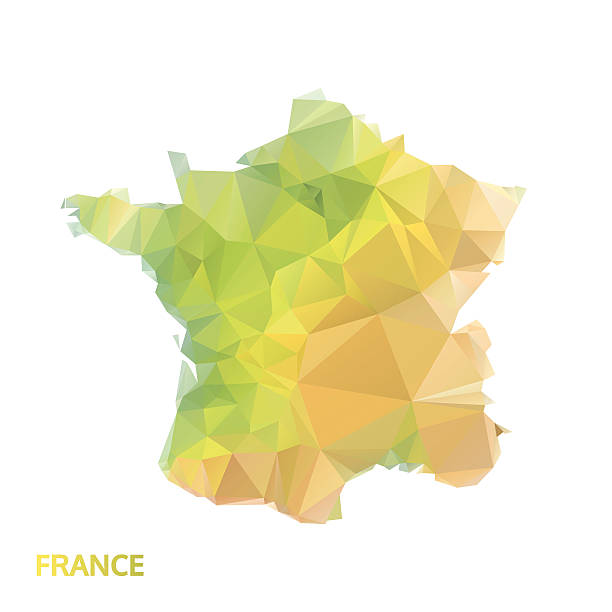
Black line Map of France icon isolated on white background. Vector.
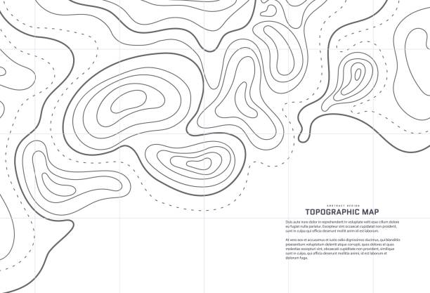
Topographic map abstract background. Outline cartography landscape. Topographic relief map on white backdrop. Modern cover design with wavy lines. Vector illustration with weather map outline pattern
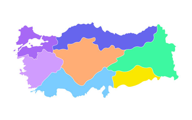
Colorful vector isolated simplified map of Turkey regions. Borders of administrative divisions. White background

Turkey map designed in illustration with regions colored in bright colors

Topographic map abstract background. Outline cartography landscape. Topographic relief map on dark backdrop. Modern cover design with wavy lines. Vector illustration with weather map outline pattern
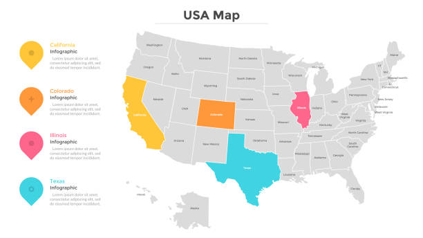
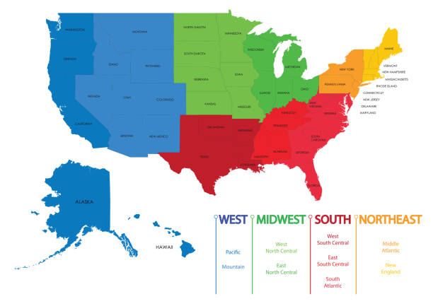
USA map with colored states. Country statistics visualization. Modern infographic design template. Vector illustration for statistical review or report, brochure, presentation, website, banner.

Topographic map lines. Topology outline contour. Vector wavy abstract relief.

Drone view of Langhe Vienyards in Piedmont

a businessman looking at a map

Satellite view of land, war operations, sci-fi, night vision with blue hues. Military target. Drone flying over an area. Military operation. Undercover operation. Mountain reliefs. 3d render
The USA map was traced and simplified in Adobe Illustrator on 2MAY2012 from a copyright-free resource below:
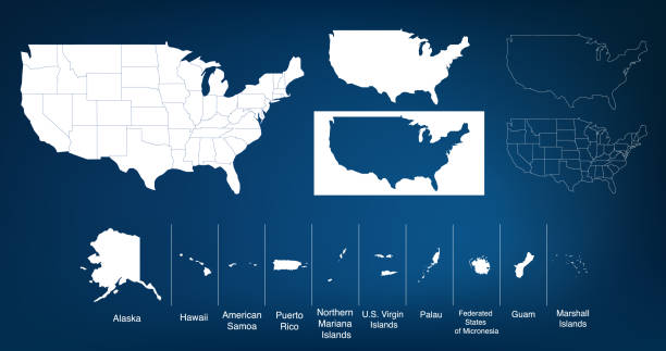
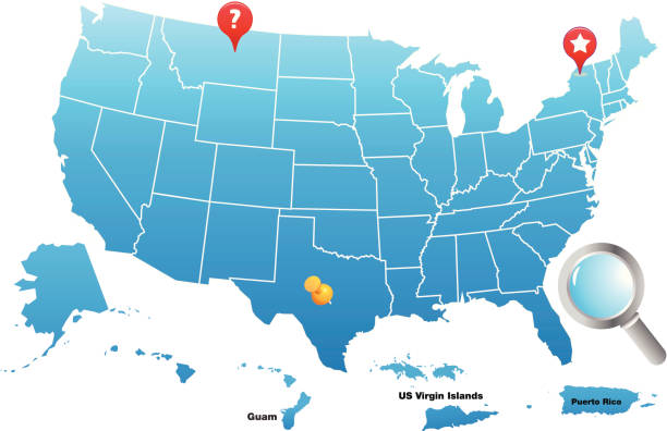
Map of The United States of America USA with States Name in Blue Color Illustration on White Background

Jack Russell Terrier tethered on leash barking fiercely

Male poodle urinating pee on tree trunk to mark territory in public park


a business executive looking at a map of new york
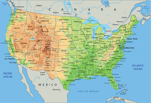
High detailed physical map of United States of America with labeling.

A closeup image of a map with markings and directions on it

Aerial panoramic view of Stary Oskol cityscape in summer day, Russia
Topographic map background. Actual topographic map. Seamless design, bewitching tileable isolines pattern. Vector illustration.

Abstract map of the United States of America covered by a social network composed of blue people symbols connected together at various sizes and depths on a white background with pixelated borders. Futuristic north american computer and social network background.

Pin stuck on a street map in a fictional city.
Topographic map abstract background. Outline cartography landscape. Topographic relief map on white backdrop. Modern cover design with wavy lines. Vector illustration with weather map outline pattern

View from drone of undulating forest landscape with curving road on autumn day
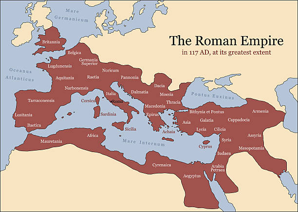
The Roman Empire at its greatest extent in 117 AD at the time of Trajan, plus principal provinces. Vector illustration.

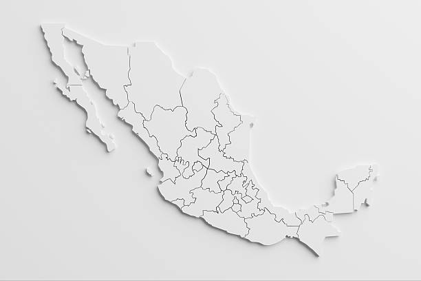
paper cutout national map of Mexico with isolated background.The map source:https://www.cia.gov/library/publications/the-world-factbook/docs/refmaps.html, reedit with AI, and created the image with C4D.

3D illustration. GPS mark on the road map.

Map Canada. Poster map of provinces and territories of Canada. Black and white print map of Canada for t-shirt, poster or geographic themes. Hand-drawn black map with provinces. Vector Illustration

World Map Blue Political - Vector Detailed Illustration

Strings and pins made map of United States.The map source:https://www.cia.gov/library/publications/the-world-factbook/docs/refmaps.html, And manually made the handcraft with strings and pins for two hour !!

level lines of currants plantation, ecological production of natural products.

Entrance to Yuma territorial prison, Arizona state historic park, USA

faché squirrel


Singing european robin (Erithacus rubecula), the national bird of Great Britain.

cat inside the house
Sales Strategy outline icons collection. Prospect, Pipeline, Funnel, Conversion, Targeting, Objections, Closing vector and illustration concept set. Forecasting,Customer linear signs and symbols
Vector illustration

Blue map of France divided into 13 administrative metropolitan regions, since 2016. Vector illustration.

City street map. GPS navigator. Road scheme plan. France location. Urban navigation pattern. Beautiful modern place. Town districts. Avenues and highways. Roadmap design. Vector topography background
QR Code, Bar Code, Bar code reader, icon, icon set, editable stroke, outline, verification, digital display, technology, mobile phone, app, data, business, scanner, scanning, pay